In the high-stakes world of plate tectonics, subduction zones are the engines of the Earth’s engine. They are the massive, subterranean conveyor belts where oceanic crust is dragged into the mantle, fueling the planet’s most violent volcanic eruptions and earth-shaking seismic events. For decades, geologists have understood how these zones begin—a Herculean task requiring immense tectonic force to initiate—but the "end-of-life" phase for these behemoths has remained largely theoretical.
Now, a groundbreaking study published in the journal Science Advances has provided the first clear, high-resolution view of a subduction zone in the throes of dissolution. Beneath the waves off the coast of Vancouver Island, in the Cascadia subduction zone, researchers have discovered that the tectonic plate is not simply slipping quietly into the abyss. Instead, it is being torn apart, piece by piece, in a process of geological unraveling that offers a rare window into the lifecycle of our planet’s crust.
The Mechanism of Tectonic Decay
Subduction is the process by which Earth recycles its outer shell. As a dense oceanic plate encounters a continental plate, it dives downward, carrying water and minerals into the hot mantle. This process can last for tens of millions of years, acting as a fundamental regulator of Earth’s surface, continent size, and ocean basin configuration.
However, these systems cannot persist indefinitely. If subduction continued forever, the continents would eventually collide, the oceans would be consumed, and the geological history of the Earth would be erased. The question that has long haunted geologists is: what causes a mature, self-sustaining subduction zone to finally stop?
"Getting a subduction zone started is like trying to push a train uphill—it takes a huge effort," explains Brandon Shuck, a geologist at Louisiana State University and the lead author of the study. "But once it’s moving, it’s like the train is racing downhill, impossible to stop. Ending it requires something dramatic—basically, a train wreck."
Chronology of a Tectonic Derailment
For years, the Cascadia subduction zone, which stretches along the Pacific Northwest, has been a focal point for seismic study. It is a vast boundary where the Juan de Fuca and Explorer plates are forced beneath the North American plate. While the region is infamous for its potential to produce massive, "megathrust" earthquakes, the data collected during the 2021 Cascadia Seismic Imaging Experiment (CASIE21) revealed a more complex narrative occurring deep beneath the seafloor.
The researchers employed a technique akin to medical ultrasound. By deploying a 15-kilometer-long streamer of underwater listening instruments behind a research vessel, the team sent powerful sound waves into the ocean floor. The resulting echoes allowed them to map the structural integrity of the sinking slab with unprecedented clarity.
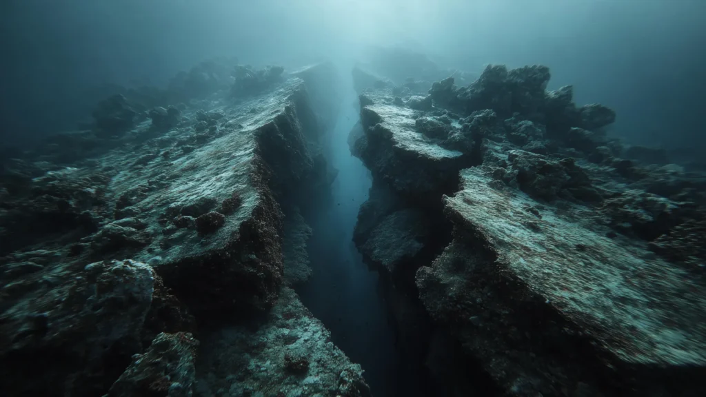
The images that emerged were startling. Rather than a singular, smooth sheet of crust descending into the mantle, the team observed a fragmented landscape. Large faults and jagged fractures were cutting through the sinking plate. One particularly dramatic feature revealed a massive offset where a section of the slab has dropped by roughly five kilometers. This was the visual evidence of a "dying" subduction zone—a system caught in the act of tearing itself apart.
Supporting Data: The Anatomy of a Tear
The evidence for this disintegration is not merely visual; it is also written in the history of earthquake activity in the region. The team identified a 75-kilometer-long tear running through the oceanic plate. By correlating seismic imaging with earthquake catalogs, they discovered a distinct pattern of "tectonic silence."
Earthquakes occur when rock blocks are locked together by friction and suddenly slip under pressure. In the areas where the plate is still intact, seismic activity remains consistent. However, along sections of the identified tear, the ground has become strangely quiet.
"Once a piece has completely broken off, it no longer produces earthquakes because the rocks aren’t stuck together anymore," Shuck noted. The absence of seismic energy in these zones confirms that segments of the plate have effectively detached from the larger tectonic mass. These detached fragments, known as microplates, continue to move independently, while the surrounding system continues its slow descent.
Official Responses and Expert Interpretation
The scientific community has lauded the study for its ability to bridge the gap between abstract geological theory and observable reality. The "piecewise" termination model suggested by Shuck and his colleagues provides a compelling explanation for historical anomalies that have puzzled researchers for decades.
For instance, the geological record contains "fossil microplates" and scattered volcanic signatures, particularly off the coast of Baja California, which have long hinted at the final stages of the ancient Farallon plate. Previously, these were assumed to be the results of singular, cataclysmic events. The Cascadia findings suggest an alternative: a slow, episodic, and progressive breakdown.
"This is the first time we have a clear picture of a subduction zone caught in the act of dying," said Shuck. "Instead of a big train wreck, it’s like watching a train slowly derail, one car at a time."
This "geological scissors" effect—driven by transform boundaries where crustal sections move sideways past one another—effectively cuts the plate into smaller, more manageable pieces. As these pieces detach, the downward pull on the remaining plate is diminished, gradually sapping the engine of the subduction zone until the process eventually grinds to a halt.
Implications for Geology and Beyond
The implications of this study reach deep into the Earth’s mantle. When a piece of a subduction slab detaches, it creates a "slab window"—a gap in the descending curtain of rock. Through this window, superheated material from the mantle can surge toward the surface. This creates localized thermal anomalies that can alter magma production and trigger distinct, secondary volcanic events.
This model perfectly mirrors the sequence of volcanic activity seen in the geological record, where volcanic rocks of varying ages appear in patterns that suggest a step-by-step evolution rather than a uniform collapse.
Does This Change Earthquake Risk?
For residents of the Pacific Northwest, the most pressing question remains: does a tearing plate mean a change in the earthquake hazard?
The researchers are quick to temper concerns. The breakup of the Juan de Fuca plate is a process occurring on a geological timescale—millions of years. It does not represent a sudden shift in the current earthquake risk profile for the region. The Cascadia subduction zone remains a potent source of potential megathrust earthquakes and tsunamis.
However, the findings do provide vital data for future modeling. By understanding that the plate is fractured, seismologists can better predict how a future rupture might behave. If a fault line is interrupted by a tear, it could change the path, duration, and magnitude of a seismic event. Integrating these new structural maps into existing earthquake models will, in the long term, lead to more accurate hazard assessments.
Conclusion
The discovery of the dying Cascadia subduction zone serves as a humbling reminder of the dynamic, ever-changing nature of the Earth. We live on a planet that is constantly in the process of rebuilding itself, recycling its own crust in a cycle that spans eons.
While the "derailment" of the Juan de Fuca plate will take millions of years to complete, the ability to observe this process in real-time is a triumph of modern geophysics. It transforms our understanding of how tectonic systems end, moving from the idea of sudden, catastrophic failure to the reality of a gradual, complex, and systematic unraveling. As we continue to map the hidden structures of our planet, we gain not only a better understanding of the past, but a clearer, more precise vision of the forces that continue to shape the ground beneath our feet.