For decades, the “Big One” has been a singular nightmare scenario in the collective consciousness of the American West Coast. Whether it was the looming threat of the Cascadia Subduction Zone—a 600-mile-long fault stretching from British Columbia to Northern California—or the storied, volatile San Andreas Fault, emergency planners have long treated these seismic giants as independent, albeit equally dangerous, actors.
However, a groundbreaking study published by a team of international researchers, led by marine geologist Chris Goldfinger of Oregon State University, has fundamentally altered our understanding of seismic risk. The study suggests that these two colossal fault systems may not act in isolation. Instead, they appear capable of synchronizing their seismic energy, occasionally rupturing in a “one-two punch” that could occur within hours, or even minutes, of one another.
The Evidence Beneath the Waves: A 3,100-Year Geologic Ledger
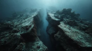
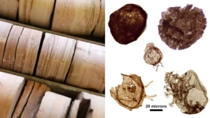
To unravel the relationship between these two tectonic behemoths, Goldfinger and his colleagues looked away from the surface and toward the deep-sea floor. Over the course of years, the team analyzed sediment cores extracted from the ocean floor, effectively reading a 3,100-year history of the Pacific Northwest’s seismic past.
These cylindrical samples act as a geologic tape recorder. Among the layers of sediment, the researchers focused on “turbidites”—underwater landslides triggered by the violent shaking of major earthquakes. When a high-magnitude quake strikes, it shakes the continental shelf, causing massive volumes of sand and silt to cascade down the submarine canyons. By dating these layers, scientists can build a timeline of past seismic activity.
What the team discovered was startling. By comparing the turbidite records of the Cascadia subduction zone with those of the northern San Andreas, they identified a pattern of synchronization. For certain events, the timing and structural composition of the sediment layers were nearly identical, suggesting that the two fault systems had been triggered in rapid succession.
A Chronology of Synchronized Rupture
The concept of “linked” earthquakes is not entirely new to seismology, but direct evidence has historically been elusive. Previously, the only widely accepted example of such a phenomenon occurred in Sumatra between 2004 and 2005, where two massive quakes occurred three months apart. The new findings, however, indicate that the Pacific Northwest may have experienced something far more compressed.
The 1999 Detour
The discovery itself was born of an accident. In 1999, during an expedition to study Cascadia, a navigation error placed Goldfinger’s research vessel 55 miles south of Cape Mendocino, California—directly within the San Andreas fault region. Deciding to capitalize on the error, the team drilled a core.
Upon analysis, they found an anomaly: a “reversed” sediment layer. In a typical turbidite, coarse material settles at the bottom, followed by finer silt. In this specific core, however, fine material sat beneath coarse sand. The researchers concluded that the fine sediment represented the immediate aftermath of a Cascadia quake, while the coarse sand above it was the signature of a nearly simultaneous rupture on the northern San Andreas.
Defining the "Doublets"
The researchers have coined the term “doublets” to describe these paired events. Through radiocarbon dating, the team identified three distinct instances within the last 1,500 years where the two systems appear to have ruptured within minutes to hours of one another. The most recent of these catastrophic pairings occurred around the year 1700, an event that resonates through the oral histories of Indigenous peoples across the Pacific Northwest and is documented in the Japanese tsunami record.
Supporting Data: Why the Faults Interact
The mechanism behind these doublets remains a subject of intense scientific investigation, but the geography of the region offers a primary clue. Cape Mendocino serves as the “Triple Junction,” the complex convergence point where the Cascadia subduction zone, the San Andreas fault, and the Gorda plate meet.
Because this region acts as a physical bridge between the two systems, stress transferred from one fault can theoretically trigger a failure in the other. When a massive subduction event occurs, it releases an unfathomable amount of energy. If the northern San Andreas is already “primed”—carrying a heavy load of tectonic stress—the seismic waves from the Cascadia event could be the proverbial straw that breaks the camel’s back.
The statistical probability of these events occurring simultaneously by pure coincidence is astronomically low. The structural similarity of the turbidite deposits across multiple sites provides a robust, if harrowing, case that these are not mere aftershocks, but independent ruptures catalyzed by a shared tectonic instability.
Implications for Emergency Preparedness
The revelation that the West Coast could face a simultaneous rupture of its two most dangerous fault systems necessitates a complete overhaul of disaster management strategies. Currently, disaster response plans for cities like Seattle, Portland, San Francisco, and Vancouver are predicated on the assumption of a single, localized catastrophe.
The "Resource Draught" Crisis
"We could expect that an earthquake on one of the faults alone would draw down the resources of the whole country to respond to it," noted Goldfinger. If both systems were to trigger within a compressed timeframe, the national emergency response infrastructure would be overwhelmed.
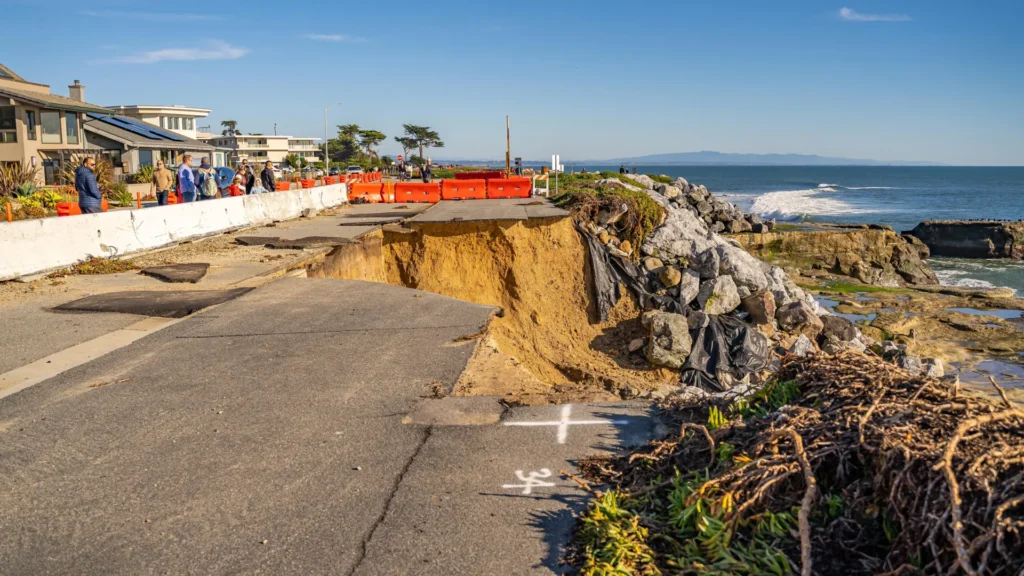
The logistical challenge would be unprecedented. Imagine the simultaneous collapse of port infrastructure in Northern California and the Pacific Northwest, the destruction of power grids spanning two major economic regions, and the severance of primary transportation arteries. In such a scenario, the “worst-case” scenario is no longer just a single earthquake; it is the total collapse of the regional supply chain and the inability of federal aid to reach multiple metropolitan centers concurrently.
Official Responses and Future Research
While the study has sent shockwaves through the geological community, it also serves as a clarion call for policymakers. The National Oceanic and Atmospheric Administration (NOAA) and various state departments of conservation have been involved in the research, signaling an increasing institutional focus on long-range tectonic risks.
However, scientists are quick to caution against alarmism. These findings do not imply that every earthquake on the San Andreas will trigger a Cascadia event, nor vice versa. The geological record spans 3,100 years, and such doublets are rare. Yet, the existence of these patterns in the deep-sea record means that risk models must now account for “cascading” failures.
A New Framework for Risk
Moving forward, researchers aim to refine the dating of these turbidites to better understand the intervals between ruptures. By improving the resolution of the sediment record, the team hopes to identify whether specific conditions, such as the saturation of stress along the San Andreas, make a doublet more likely.
Furthermore, this research underscores the vital importance of continued investment in marine geology. The 1999 “accident” that led to the discovery of these doublets highlights how much of our own seismic reality remains hidden beneath the surface of the ocean.
Conclusion: Living with the Unknown
The prospect of a synchronized earthquake event is a humbling reminder of the limits of human control over the natural world. As urban centers continue to expand along the West Coast, the distance between our modern infrastructure and the volatile tectonic plates beneath us shrinks.
The work of Goldfinger and his colleagues does not provide a date for the next “Big One,” nor does it guarantee that a doublet is on the immediate horizon. Instead, it offers something arguably more important: a clearer view of the actual, high-stakes reality of the Pacific Rim. By accepting the possibility of synchronized seismic events, the West Coast can begin the difficult but necessary process of planning for a future that is not just resilient to one disaster, but prepared for the potential of two.
As the scientific community continues to analyze the 3,100-year history locked in the sea floor, the message is clear: the ground beneath our feet is more interconnected than we ever dared to imagine. Preparation must now evolve to meet that complexity.